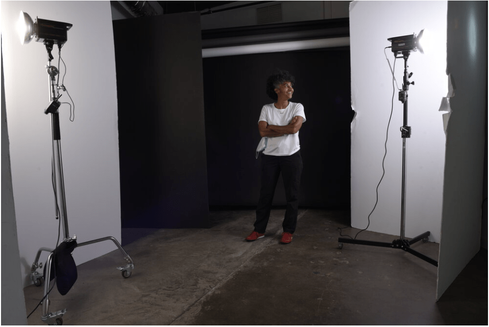
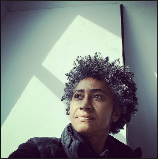
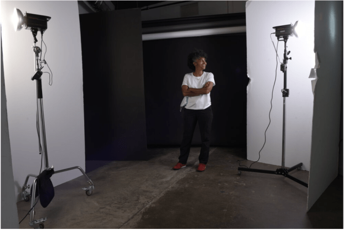
julie yarbrough
Email: julieyphoto@gmail.com
Instagram: @ jyphoto
website: www.julieyarbroughphotography.com
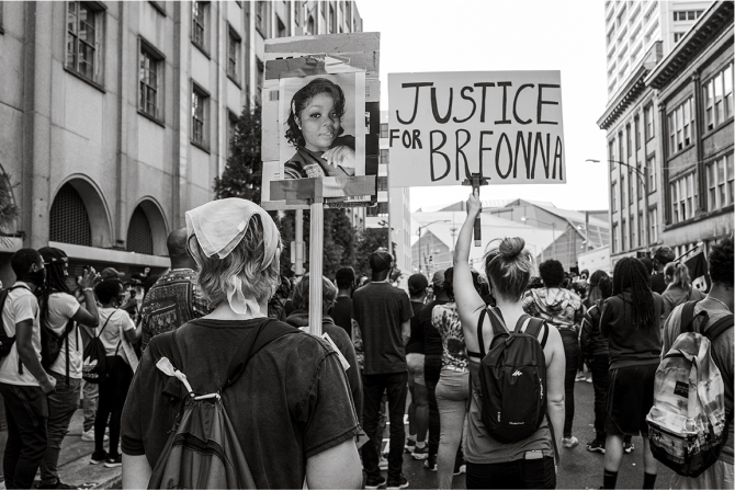
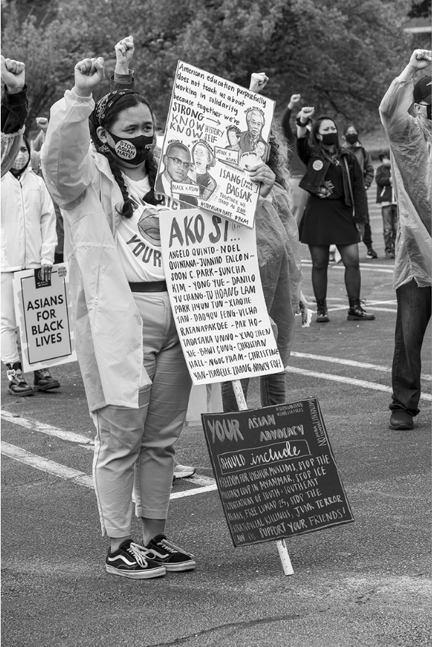
With 20 years of photographic experience; selling photographic equipment; consulting; and teaching budding photographers. Julie has continuously nurtured her passion for the photographic image. From film to digital technology Julie creates personal work and client assignments that are visually interesting, meaningful and educational. Guided by spirit and awareness, watching for interesting gesture and best possible light, Julie is incited to capture and record the human experience. Engaging in cultural affairs or working with other creative people fuels Julie's desire to create personal work that is meaningful and connects to the viewer.
VIRTUAL GALLERY


central artist corner
VISIT US
Hours & Information
Closed until 10:00am tomorrow
Monday
10:00AM - 8:00PM
Tuesday
10:00AM - 8:00PM
Wednesday
10:00AM - 6:00PM
Thursday
10:00AM - 6:00PM
Friday
10:00AM - 6:00PM
Saturday
10:00AM - 6:00PM
Sunday
Closed
Main: (404) 612-8700